History and geography teachers
Show a voyage, a campaign, the spread of an empire or why a river mattered, on a map the whole class can read, in your students’ language.
Skills Map story
Name a voyage, a trade route, an empire, a trip itinerary or figures by country, or paste your own script, and Chasca makes a narrated, animated map. The camera flies to where the story goes, routes draw on as each stop is named, regions light up, the year counts on and empires grow and shrink. Every city, coast, river and border comes from real map data, so pins land where the places are and sea routes go around the land.
At a glance
Who it’s for
Show a voyage, a campaign, the spread of an empire or why a river mattered, on a map the whole class can read, in your students’ language.
Turn an itinerary into a route video: each stop pinned as it is named, the way between them drawn on the map, the distance written at the end.
Locate a strait, a border or a trade route in seconds, with a note on what matters there, and figures by country from your own numbers.
How it works

A voyage, a trade route, an empire, a trip itinerary or figures by country, in any language. Or your own script.
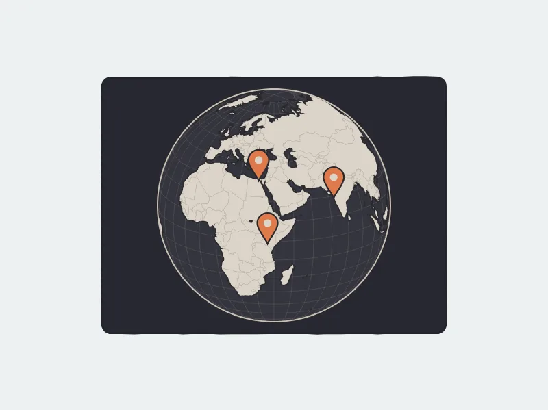
Every city, coast, river and border comes from map data, never guessed, so pins land where the places are and sea routes go around the land.
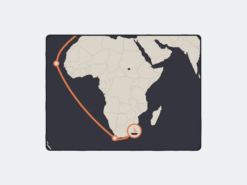
Routes draw on as each stop is named, regions light up, the camera flies and the year counts on.
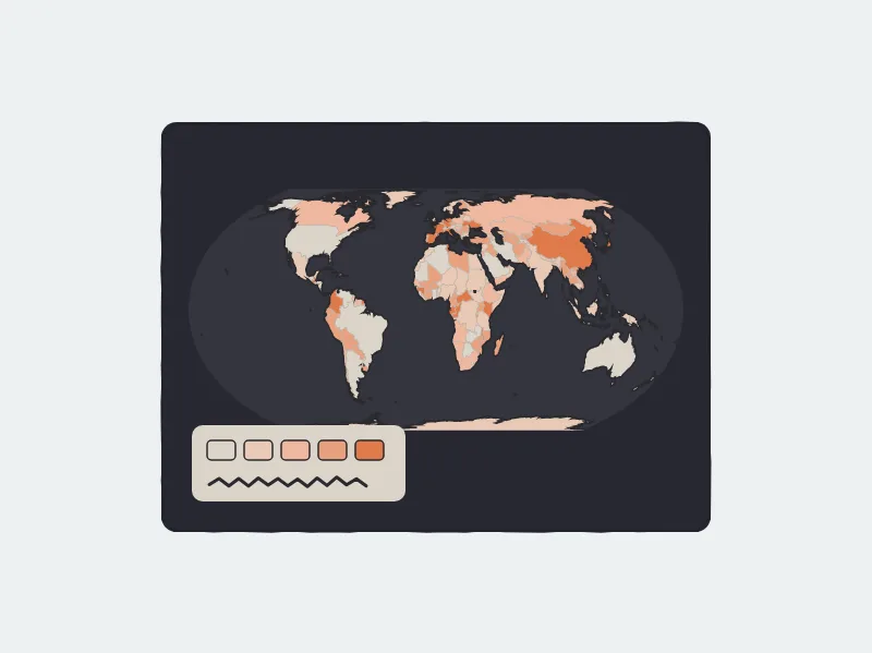
Paste figures by country and they become shades on the map with a legend. The numbers are only ever yours, or the map data’s own.
Examples
A voyage drawn stop by stop as each port is named, from Lisbon around the Cape of Good Hope to Calicut, with the year turning.
PromptHow did Vasco da Gama reach India by sea in 1498? Show his route from Lisbon around Africa.
Made from a promptMap storyEnglish
A trip itinerary on the map: Tokyo, Hakone, Kyoto, Nara, Osaka and Hiroshima, each stop pinned as it is named.
PromptA 10-day Japan trip by train: Tokyo, Hakone, Kyoto, Nara, Osaka and Hiroshima. Show the route day by day.
Made from a promptMap storyEnglish
The Maurya Empire growing from Pataliputra under Chandragupta to Ashoka, in Hindi, with the years along a timeline.
Promptमौर्य साम्राज्य कैसे फैला? चंद्रगुप्त से अशोक तक नक्शे पर दिखाइए।
Made from a promptMap storyHindi
The sea route from New York to San Francisco around Cape Horn and through the Panama Canal, compared on the map, in Spanish.
Prompt¿Por qué el canal de Panamá cambió el comercio mundial? Compara la ruta de Nueva York a San Francisco por el cabo de Hornos y por el canal.
Made from a promptMap storySpanish
Ibn Battuta’s first journey, from Tangier across North Africa to Mecca in 1325, in Arabic, the map’s names written right to left.
Promptرحلة ابن بطوطة من طنجة إلى مكة سنة ١٣٢٥: اعرض الطريق على الخريطة.
Made from a promptMap storyArabic
The world’s population by country, shaded from the map data’s own figures with a legend, and why so many people live in Asia.
PromptShow the world’s population by country on a map and explain why so many people live in Asia.
Made from a promptMap storyEnglish
Why we built it
The map videos people remember are animated by hand, one keyframe at a time, and a five-minute history of an empire can take weeks to make. Teachers, guides and small channels rarely have that time, so the map stays a still picture on a slide. We built Map story so that any journey, any empire and any place in the news can be explained on a map that moves with the words, in any language.
Yes. Chasca’s Map story skill turns a topic, an itinerary or your own script into a narrated video on an animated map: the camera flies to each place, routes draw on as their stops are named, regions light up and the year counts on. Every place comes from real map data, and the script, narration, captions and map are made together in one go.
Pick Map story and type your itinerary, for example “Tokyo, Hakone, Kyoto, Nara, Osaka and Hiroshima by train”. Each stop is pinned as it is named, the way between them is drawn on the map, and the route’s real length can be written at the end. Choose a voice and a language, and the video comes back narrated.
Yes, with the year in a corner or a timeline along the bottom. Today’s countries light up exactly. Empires and kingdoms of the past are drawn as approximate areas around the places they held, hatched and labelled with “about”, and they grow or shrink as the years count on: the exact borders of the distant past aren’t known well enough to draw as lines.
Yes. Paste figures by country, or add a document with them, and they become shades on the map with a legend. Only your own numbers are drawn. Without them, the skill can show the map data’s own population and economy figures, with their year.
Countries, cities and towns, seas, straits, gulfs, capes, islands, lakes, rivers, deserts and mountain ranges, and thousands of places of the past such as ancient cities, battle sites and historical regions. A place that isn’t in the map data is left out rather than guessed, and the video’s page tells you which.
All 79 languages Chasca narrates in. Names on the map are written in the video’s language where the map data has them, and Arabic is written right to left.
From 30 seconds to 10 minutes on a paid plan; the free videos are up to a minute.
Your first 2 videos are free, up to 1 minute each, watermarked. No card required. A skill works on the free videos too, up to a minute. After that, plans start at $9.99 a month for 30 minutes. See pricing.
More skills
A painted history episode with dates, places and a recurring cast, chapter after chapter.
Maths ideas shown moving: grids that transform, graphs that morph, equations in the picture’s colours.
A vertical reel with a painted picture for every beat and captions one word at a time.
Your first 2 videos are free, up to 1 minute each, watermarked. No card required. Full product, every voice and style included.